Remote Sensing And GIS Mapping
We are in the domain of Image Processing and base map creation for various data models using high-resolution satellite data by both visual & digital interpretation techniques.
Application And GIS Mapping Training (Online/Offline)
We offer training that are designed to give students or clients in-depth knowledge of the concepts and methods necessary for GIS and their applications in the real world.
Consultancy In Geospatial Service
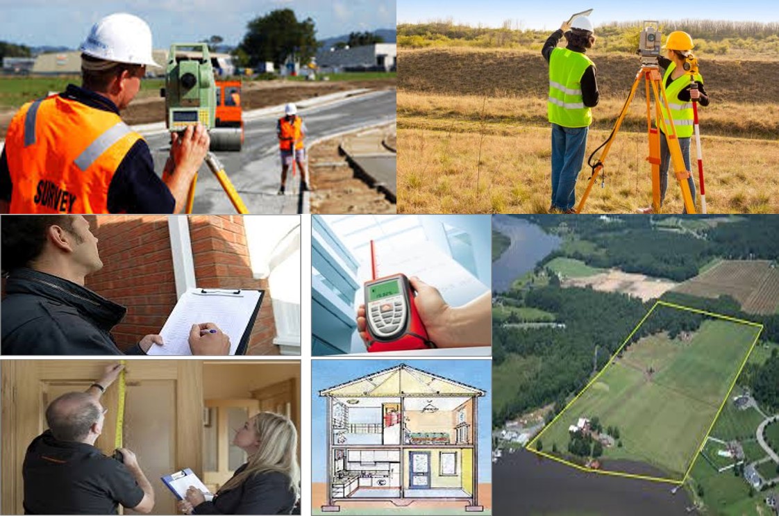
We are provide support in GIS based following activity area's - Topography Survey, Property Survey, Carpet Based Survey, Utility Mapping, Land Record Mapping, Boundary Demarcation Survey, etc.
City Base Map / LULC / Cadastral / Change Detection
Using high resolution satellite imagery and hybrid technique, we are create highly accurate city base map /Land Use Land Cover map / Cadastral Map creation / Time Series Change Analysis for planning of Urban Local Bodies or Private Bodies to their area.
Utility Mapping (Networks/Nodes)
Using Remote Sensing and GIS method can be done of utility mapping of Drainage Network, Water Supply Network, Fiber Optical Network, GAS Network, Electrial Network, Road Network etc. to Urban Local Bodies or Private Bodies.
Topography /Land Demarcation / Information Survey
Using Hybrid (Survey+Imagery) technique can provide highly accurate survey mapping in Boundary Demarcation, Land Survey, Topographical Survey, Contour Survey, Property Survey, Information Survey, etc.
Our Strength / Service Area's


EXPERIENCED PROJECTS / CLIENTS